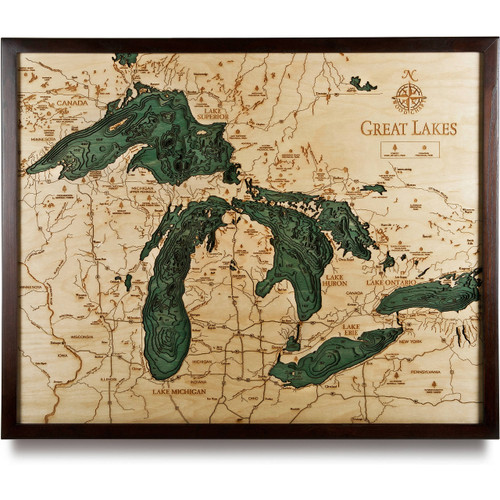
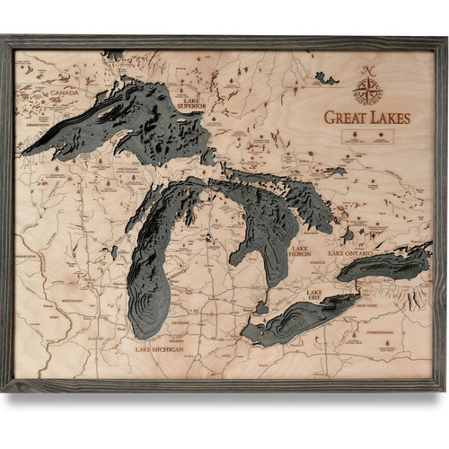
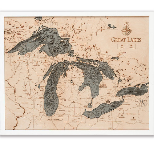
Lake St Clair
Lake St. Clair is a freshwater lake that resides between the Michigan and the Canadian province of Ontario. It’s surface area reaches 430 square miles, stretches out 21 miles long, and has average depths of 11 feet. It is part of the system of Great Lakes and connects Lake Huron to Lake Erie, the St. Clair River and Detroit River. Lake St. Clair has been dredged to ensure freighter passage and has the largest delta within the entire system of Great Lakes. It is fed by the Thames and Sydenham Rivers from Ontario and the Clinton and Pine Rivers from Michigan. It outflows into the Detroit River and Lake Erie.
- 13 Mile Rd.
- 15 Mile Rd.
- 16 Mile Rd.
- 21 Mile Rd.
- 23 Mile Rd.
- 25 Mile Rd.
- 26 Mile Rd.
- 9 Mile Rd.
- Algonac
- Algonac State Park
- Anchor Bay
- Arnold Rd.
- Baker Rd.
- Baptiste Creek
- Baptiste Rd.
- Bassett Channel
- Bassett Island
- Beaubien Creek
- Beaverdam Drain
- Belle River
- Belle River Rd.
- Belvidere Bay
- Bentpath Line
- Big Creek
- Big Muscamoot Bay
- Bouvier Bay
- Cadieux Rd.
- Campau Bay
- Canada
- Card Rd.
- Cass Ave.
- Chemtogan Channel
- Chenal Ecarte
- Chesterfield
- Clinton River
- Comber
- Comber Sideroad
- County Line Rd.
- Crapaud Creek
- Crocker Blvd.
- Detroit River
- Dickinson Island
- Dixie Hwy
- Drouard Bay
- Dufferin Ave.
- East 10 Mile Rd.
- East 14 Mile Rd.
- East C. Row Expy.
- East Puce Rd.
- Edsel Ford Fwy
- Emeryville
- Fish Creek
- Fisher Bay
- Fords Cove
- Foss Rd.
- Goose Bay
- Goose Lake
- Gracey Side Rd.
- Gratiot Ave.
- Greater Mack Ave.
- Green Island
- Groesbeck Hwy
- Gross Pointe
- Grosse Pointe Shores
- Hall Rd.
- Harper Ave.
- Harsens Island
- I Puce Rd.
- Jeannettes Creek
- Jefferson Ave.
- Johnston Bay
- Johnston Channel
- Kelly Rd.
- Kercheval St.
- King Rd.
- L’anse Creuse Bay
- Lakeshore Dr.
- Lambton Line
- Lesperance Rd.
- Little Mack Ave.
- Little Muscamoot Bay
- MacDonald-Cartier Freeway
- Mack Ave.
- Main St.
- Manning Rd.
- Marine City
- Marine City Hwy
- Marsac Creek
- Marsh Rd.
- McDonalds Island
- Meldrum Drain
- MI 15
- Middle Channel
- Middle Rd.
- Mitchell’s Bay
- Moross Rd.
- Mud Lake
- New Baltimore
- New Haven
- New Haven Rd.
- North Ave.
- North Channel
- North Groesbeck Hwy
- North Sydenham River
- North Talbot Rd.
- Old Tecumseh Rd.
- Palms Rd.
- Peche Island
- Pike Creek
- Point Tremble Rd.
- Pollet Bay
- Puce River
- River Rd.
- Riverside Dr.
- Romeo Plank Rd.
- Ruscom River
- Russell Point
- Salt River
- Seaway Island
- Shea Rd.
- Sombra
- Squirrel Island
- St. Anne Island
- St. Clair National Wildlife Area
- St. Clair Pkwy.
- St. Clair River
- St. Clair Shores
- Starville Rd.
- Stoney Point
- Sugarbush Rd.
- Swan Creek
- Tecumseh
- Tecumseh Rd.
- Tecumseh Rd. East
- Thames River
- Tilbury
- Tremblay Creek
- United States
- W Pike Creek Rd.
- Walpole Island
- Washington St.
- Windsor
- Wolcott Hill Metropark


